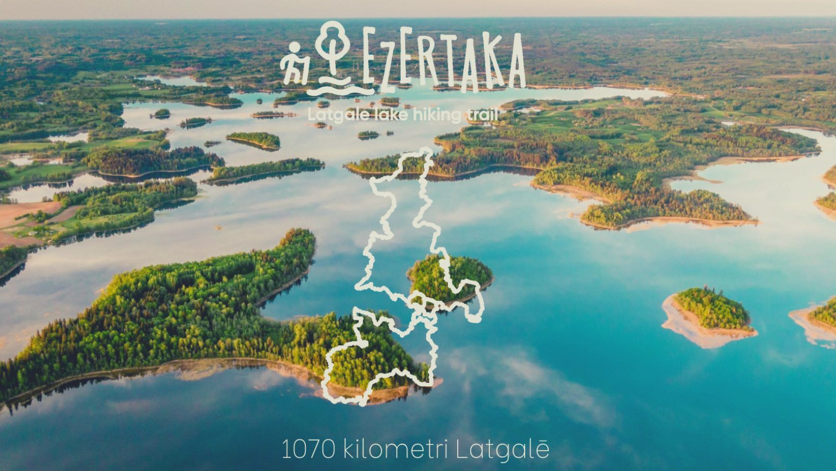
What is “Ezertaka”?
“Ezertaka” or Lake trail is a long-distance hiking trail around the Latgale region in the East of Latvia. The total length of the Latgale long-distance hiking route “Ezertaka” is about 1070 km. The proportion of road surfaces along the route is 59% gravel roads, 21% rural roads, forest and meadow roads, and 20% asphalt roads. The route is divided into 49 routes, 13 of these routes are longer and will take several days to cover. All routes can be found on a map here. You can start and finish the route from any point.
Why “Ezertaka” is so special?
The graphic drawing of the route is an eight-shaped infinity mark with the crossing point in the area of Lake Rāzna. In total, 134 lakes and other bodies of water (rivers, man-made ponds, and mill lakes) can be found along the Ezertaka trail. The Latgale long-distance route includes some of the deepest lakes in Latvia – Geraņimova-Ildza (46m), Lielā Gusena (38m), and Ormija (43m) in the Krāslava region, Riču (39.7m) and Svente (38m) lakes in the Augšdaugava municipality. The largest lakes in Latvia – Rāzna (by water volume) and Lubāns (by area) are also included in the “Ezertaka”. The route passes by Lake Ežezers, the richest lake with islands in Latvia. In the southern part of Latgale, where the route runs almost along the border of Belarus and Lithuania, three border lakes are visible: Riču, Sita (LV/BY border), and Lielais Kumpotis (LV/LT border).
Please note that if you want to walk alongside the Latvian-Belarusian or Russian border, you will need to obtain a special cross-border pass in advance, which you can apply for electronically via the unified State administration services portal latvija.lv/Epakalpojumi. In summer, hikers will have the opportunity to enjoy some of the clearest lakes in Latvia – Lake Sventes (transparency 7.5m) and Medumu (5.2m) in Augšdaugava municipality.